Stockholm Maps and Orientation
(Stockholm, Stockholm County, Sweden)
The Swedish city of Stockholm can be found next to the eastern shoreline of Sweden and has been built upon a series of large islands. Stockholm's modern city centre is known locally as 'Norrmalm' and is the very heart of city life, featuring a series of shopping centres and business districts. Norrmalm is connected to the city's numerous suburbs by a number of convenient subways.
A prominent local landmark in this part of Stockholm is the public square of Sergels Torg, which is conveniently situated alongside the central railway station (Centralstationen). A short distance to the east, the tourist office can be found directly opposite the Kungsträdgarden Park and is a good source for maps.
Maps and Orientation of the City
The 'What's On Stockholm' tourist guide is especially popular at the tourist office and is completely free of charge. Inside you will find a number of useful maps, although many prefer the more detailed and bigger Stockholm's Officiella Turistkarta maps, which tend to cover a larger proportion of the city.
The island of Stadsholmen is an important part of Stockholm and is close to a number of prominent islets, including the Old Town area of Gamla Stan. Mälaren Lake stands directly to the west, while Stockholm's famous Centralbron bridge is to the south.
- Botkyrka - 27 km / 17 miles (28 minutes, south-west)
- Danderyd - 10 km / 6 miles (12 minutes, north)
- Fredhäll - 5 km / 3 miles (8 minutes, west)
- Huddinge - 16 km / 10 miles (19 minutes, south)
- Järfälla - 19 km / 12 miles (22 minutes, north-west)
- Lidingö - 6 km / 4 miles (9 minutes, east)
- Nacka - 10 km / 6 miles (12 minutes, south-east)
- Södermalm - 3 km / 2 miles (4 minutes, south)
- Sollentuna - 14 km / 9 miles (17 minutes, north-west)
- Solna - 6 km / 4 miles (9 minutes, north-west)
- Sundbyberg - 8 km / 5 miles (11 minutes, north-west)
- Täby - 14 km / 9 miles (17 minutes, north)
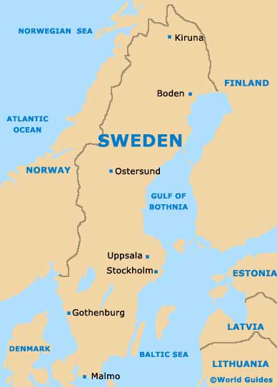
Map of Sweden
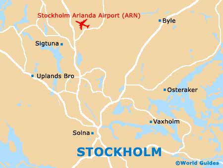
Map of Stockholm